What Is a Decision-Support Tool?
Think of WWUMM like a highly advanced GPS for water management. It doesn’t just show where water is today — it helps the Districts see what will happen in the future if they change well pumping allocations, transfer irrigated lands, or if surface water deliveries change. The modeling also helps them ensure they are meeting their basinwide and integrated management obligations. This ensures they have the most up-to-date data for them to make smarter, more confident decisions.
What Goes Into the Modeling?
To create an accurate picture of the region’s water, WWUMM uses a rich collection of real-world information, including:
- Detailed land-use maps showing where crops are grown and where land is dry
- Weather and climate records that tell us how much rain falls and how much water crops need
- Canal diversion data showing how much surface water is delivered through the irrigation system
- Crop-specific water requirements
- Measured well pumping records and soil information
- The geologic makeup of the aquifers themselves
Using all of this real, up-to-date data, the WWUMM was built from the ground up.

Why Real-World Data Matters
These inputs aren’t just numbers on a page — they’re the actual day-to-day realities of farming and water use in the Panhandle. By feeding real data into the model, WWUMM creates results that closely match what’s happening on the ground, making the insights far more trustworthy and useful.
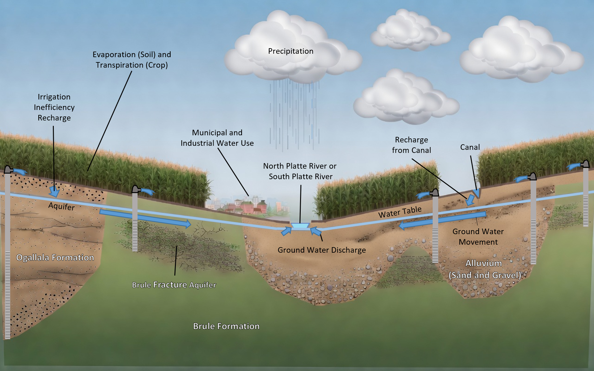
At its heart, WWUMM brings together ground water, surface water, and soil-water balance models to paint a comprehensive picture of how water moves through the entire region. A recent addition to the system is the remarkable Enhanced Soil and Crop (ESC) Model. This modern, open-source tool quickly and accurately calculates exactly how much ground water is pumped from wells and how much water recharges the aquifer.

The ESC Model in Simple Terms
The ESC Model is like a super-precise accountant for every farm parcel. It looks at what crops are planted, how much water the crops need, deliveries from canals, and well pumping — then tells us exactly how much water returns to the aquifer. This parcel-by-parcel approach is one of the biggest improvements over older models.
The WWUMM delivers a transparent approach along with highly accurate and trustworthy insights. The Districts rely on it every day to help inform their smart, data-driven decisions — from evaluating acreage transfers to supporting conjunctive water management and meeting important statutorily mandated analysis requirements.
What Is Conjunctive Water Management?
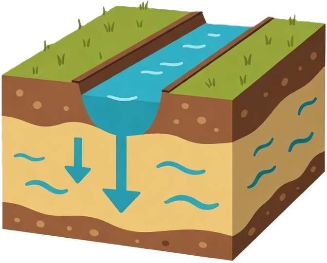
“Conjunctive” simply means using ground water and surface water together as one connected system. WWUMM helps the Districts understand all water supplies so they can make highly informed policy decisions.
Most importantly, WWUMM helps the Districts balance thriving agriculture, healthy ecosystems, and the long-term management of the High Plains, alluvial, and Brule Fracture aquifers — ensuring this precious resource remains available for generations to come.
 Hydrogeology
🌾 Land Use
🌱 ESC Modeling
💧 Ground Water Modeling
📊 Robust Review Analysis
📁 Files & Data
📘 Documentation
Hydrogeology
🌾 Land Use
🌱 ESC Modeling
💧 Ground Water Modeling
📊 Robust Review Analysis
📁 Files & Data
📘 Documentation